Hurricane Erin
August 18, 2025 thru August 24, 2025
After a quiet summer year of swell, Hurricane Erin finally delivered the first real swell of hurricane season to Rhode Island. Weeks of checking flat surf forecasts and reluctantly looking for other activities to get ourselves in the water.
When Erin spun up in the Atlantic, tracking steadily north, it was the glimmer of hope we’d been waiting for.
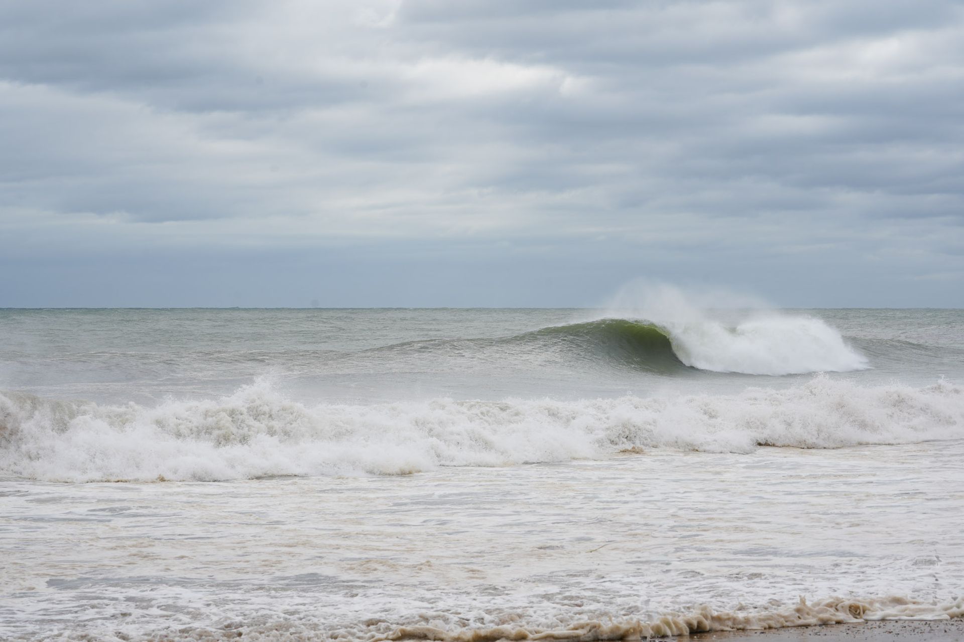
Forming as a classic Cape Verde storm in mid-August, Erin gained strength in the warm central Atlantic, peaking as a Cat. 2 hurricane with winds pushing over 100 mph. While it never threatened a direct landfall in the US, its wide circulation and steady northwesterly push sent a long-period groundswell racing toward the coast of Rhode Island. By the time it brushed past Bermuda and began its climb up the western Atlantic, forecasts lit up with promise: clean lines, fun size, and a much-needed spark for a surf-starved summer.
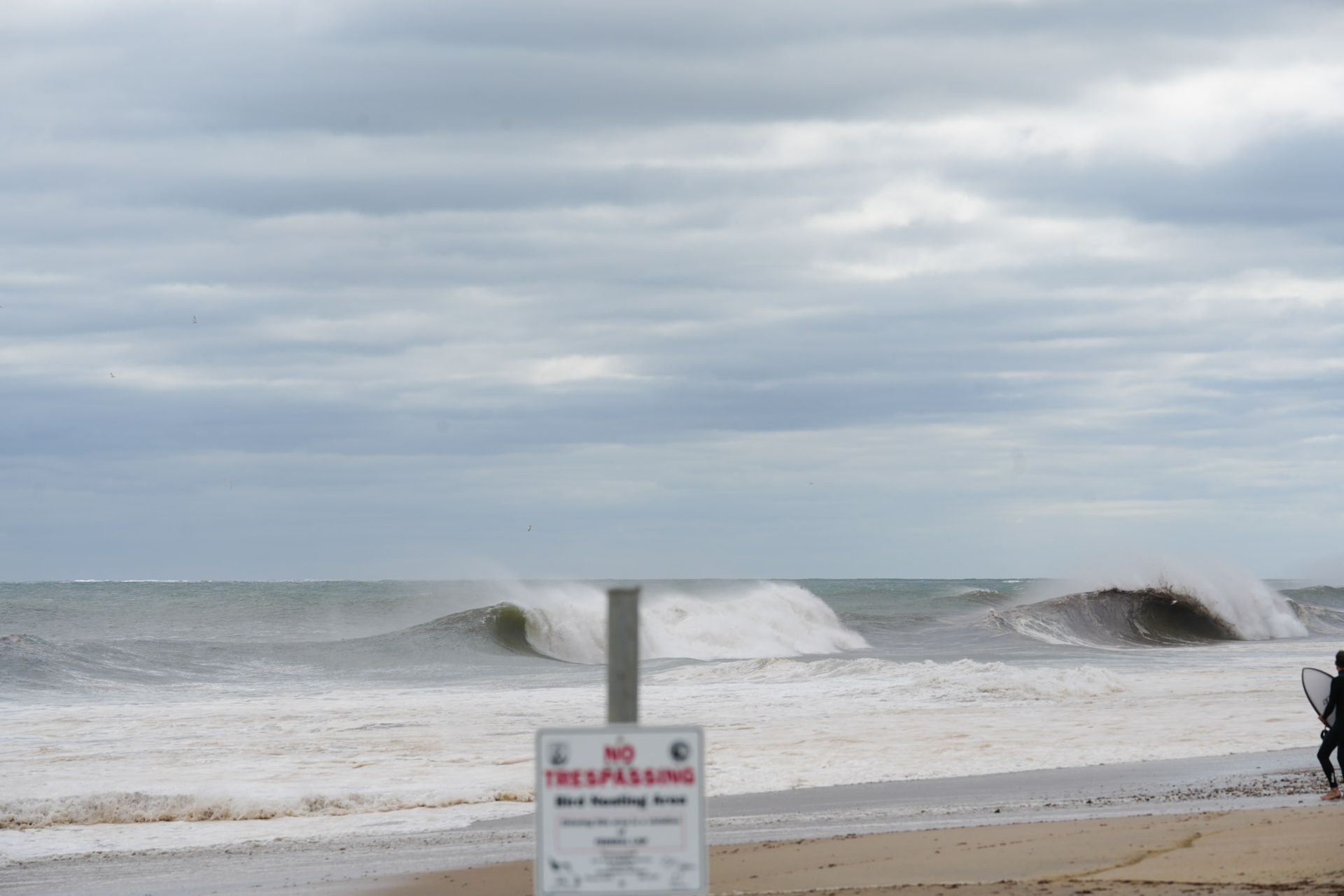
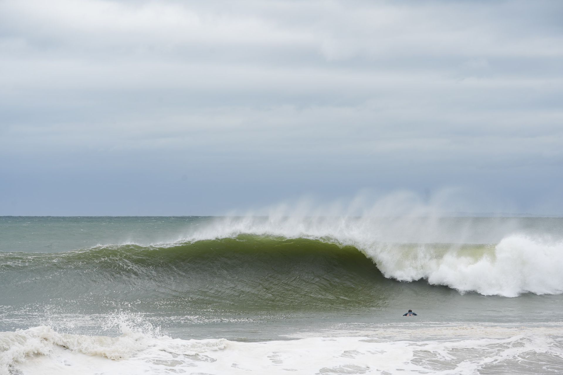
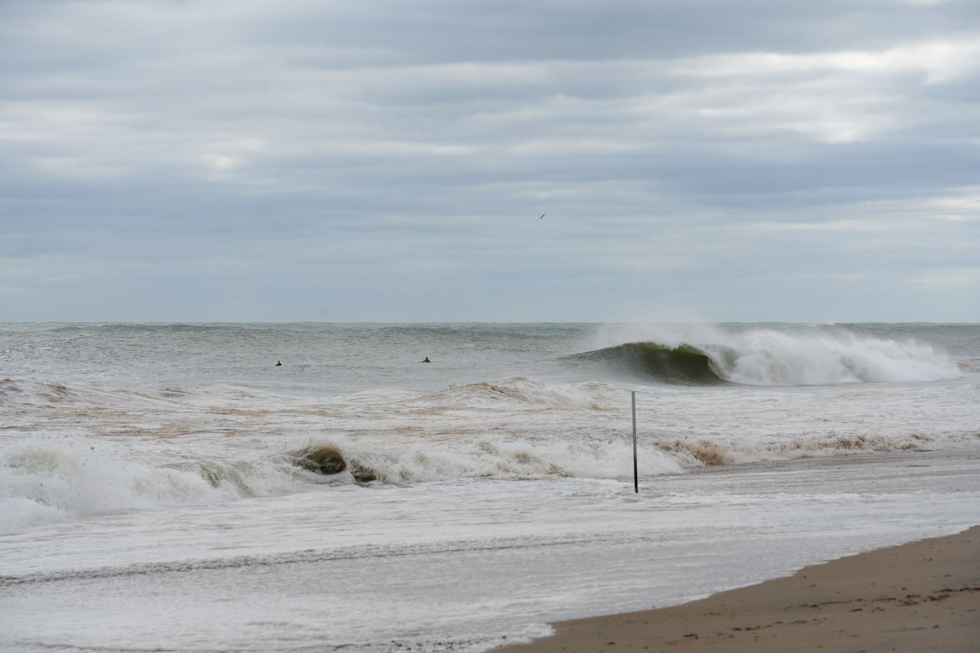
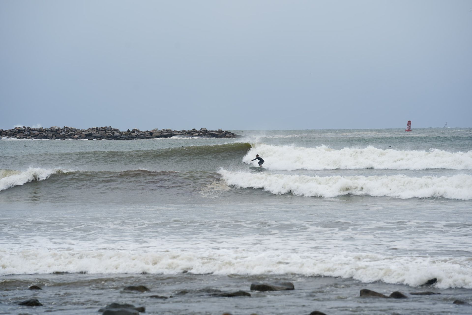
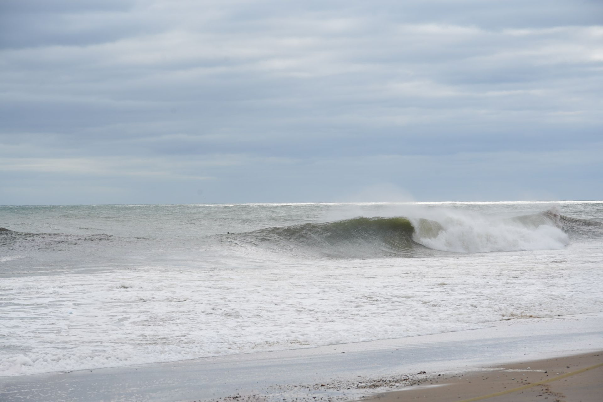
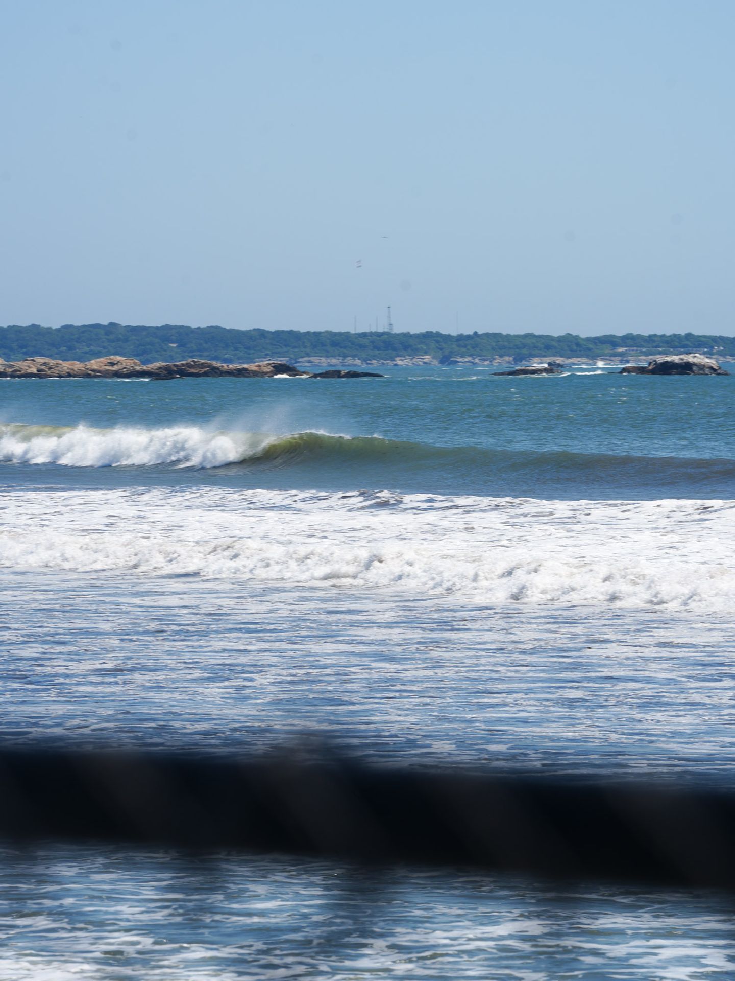
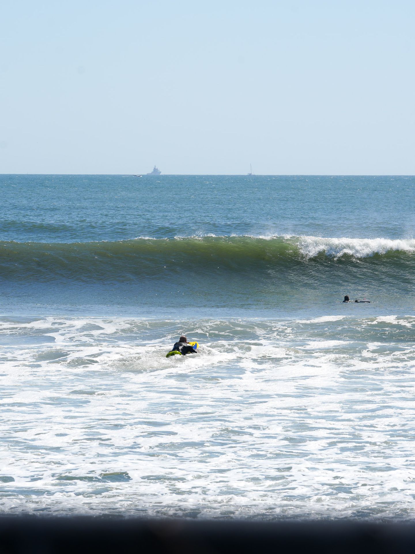
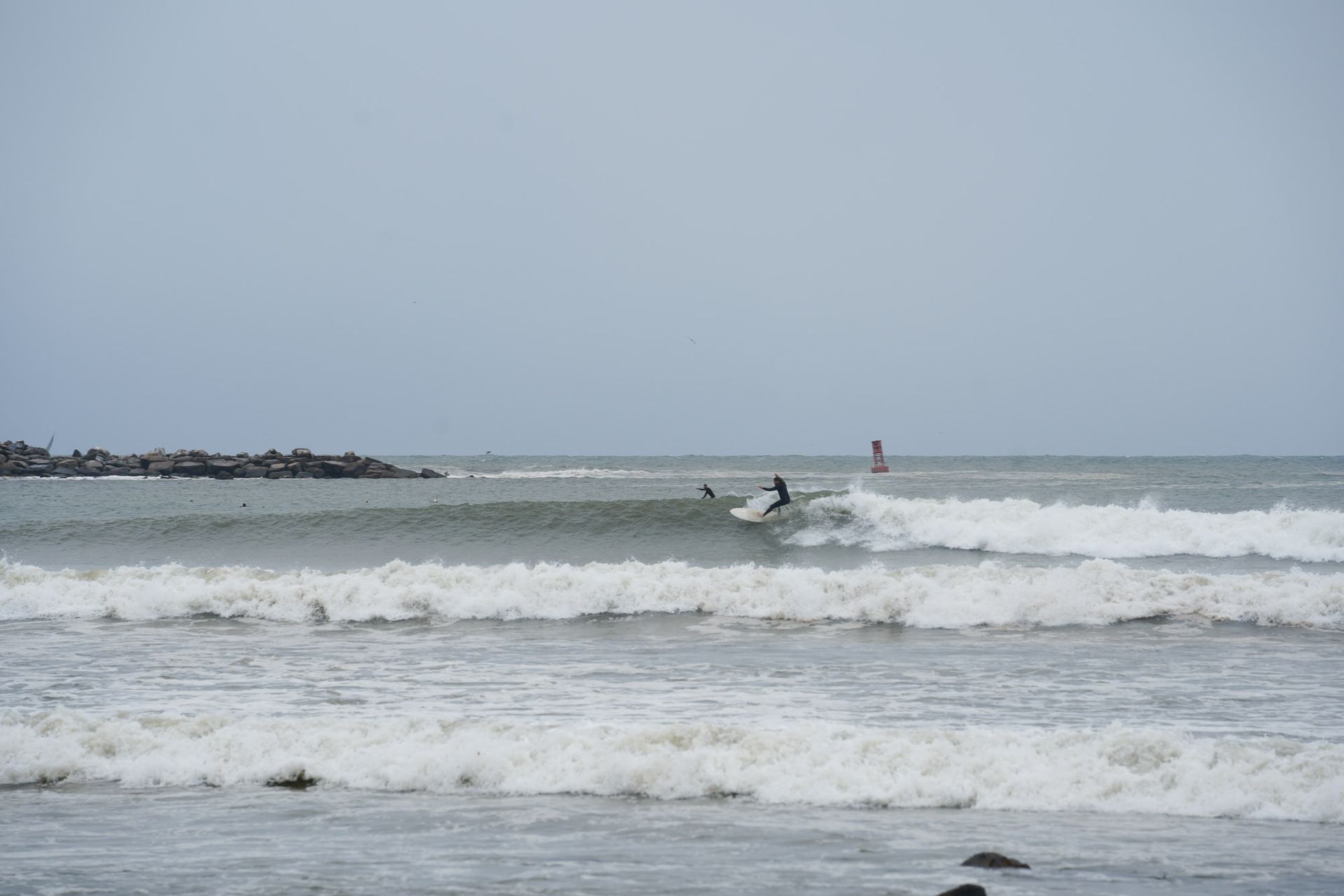
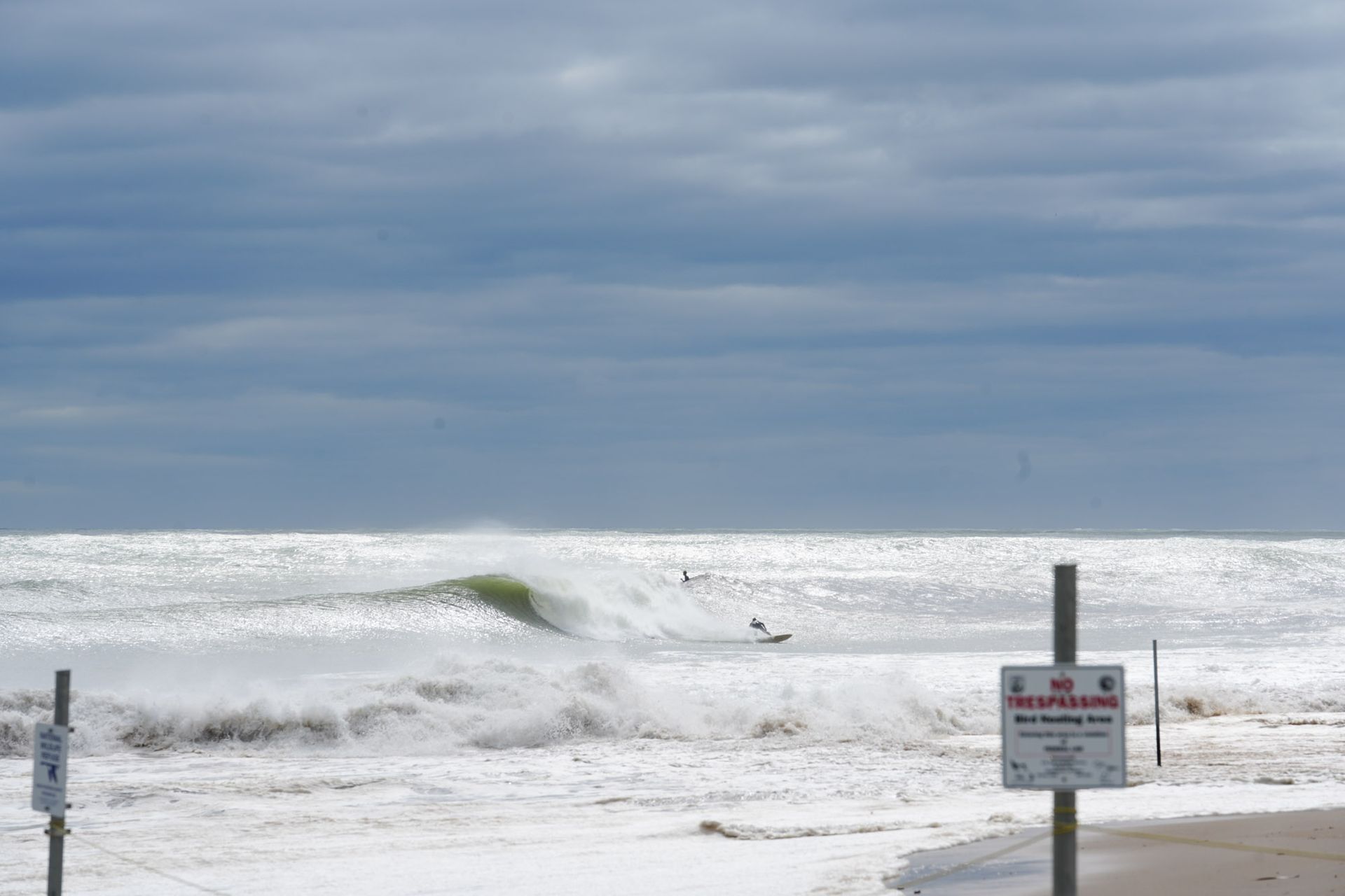
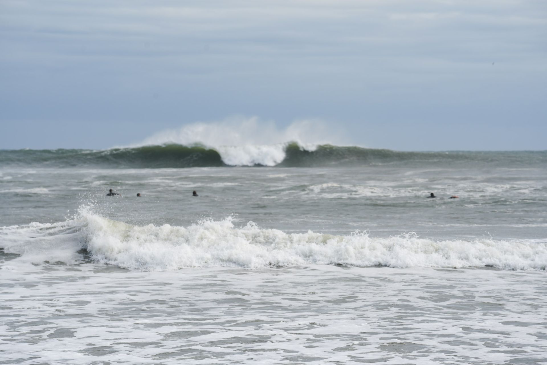
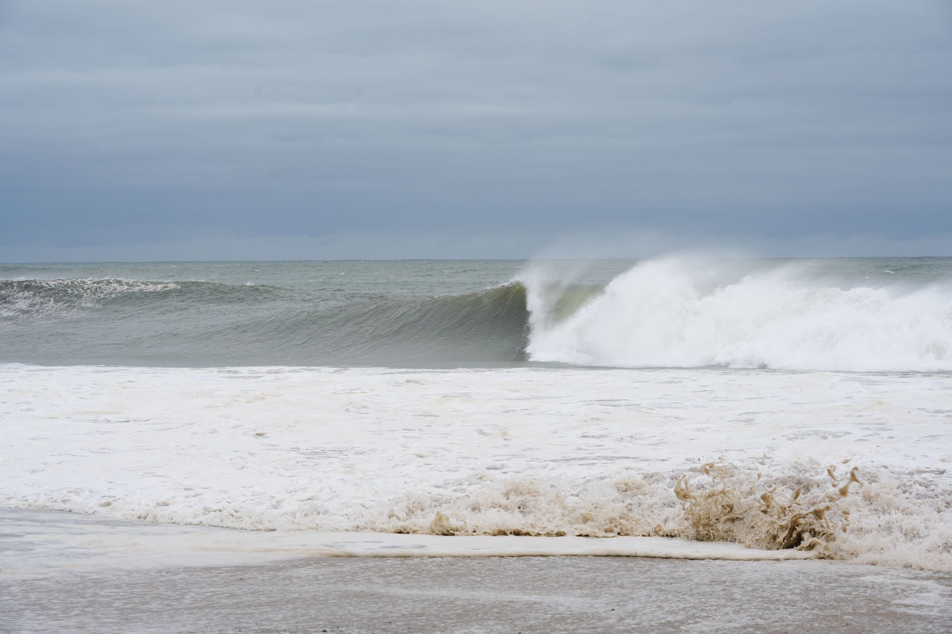
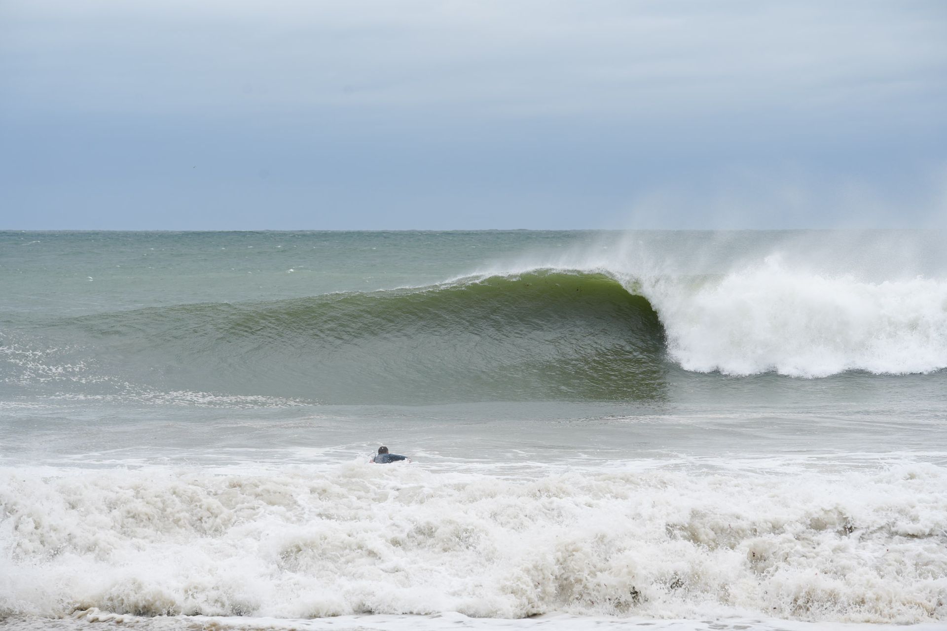
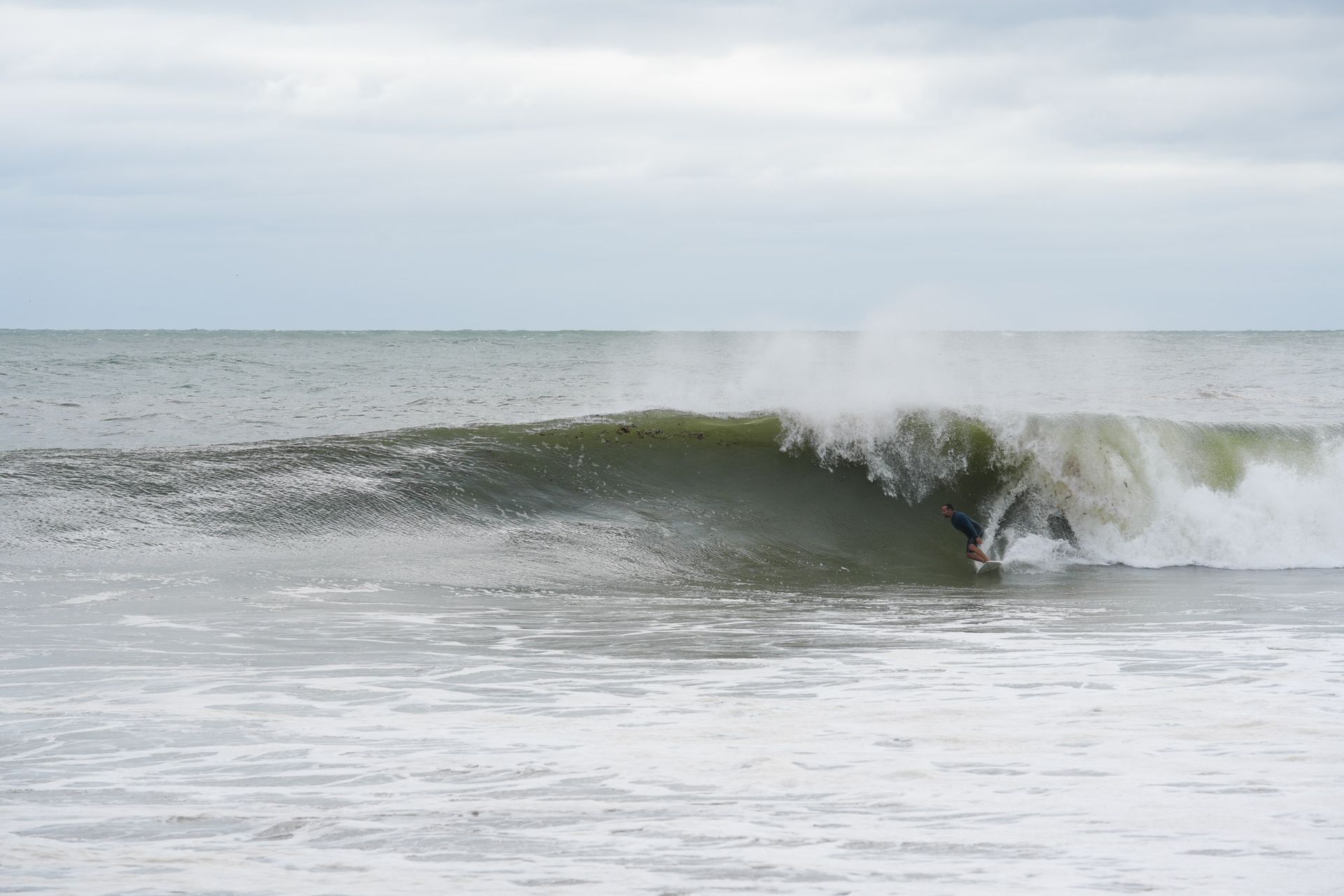
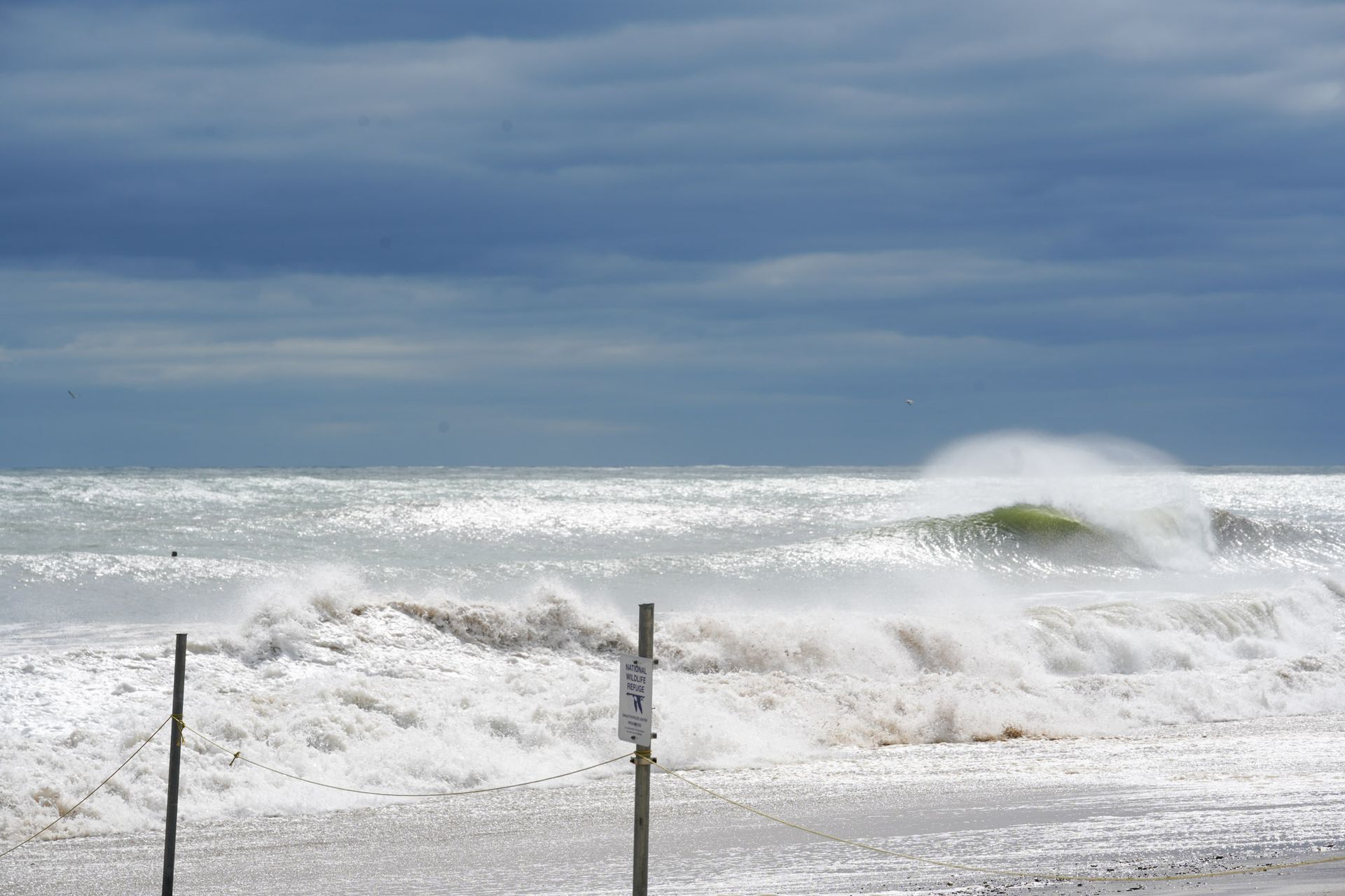
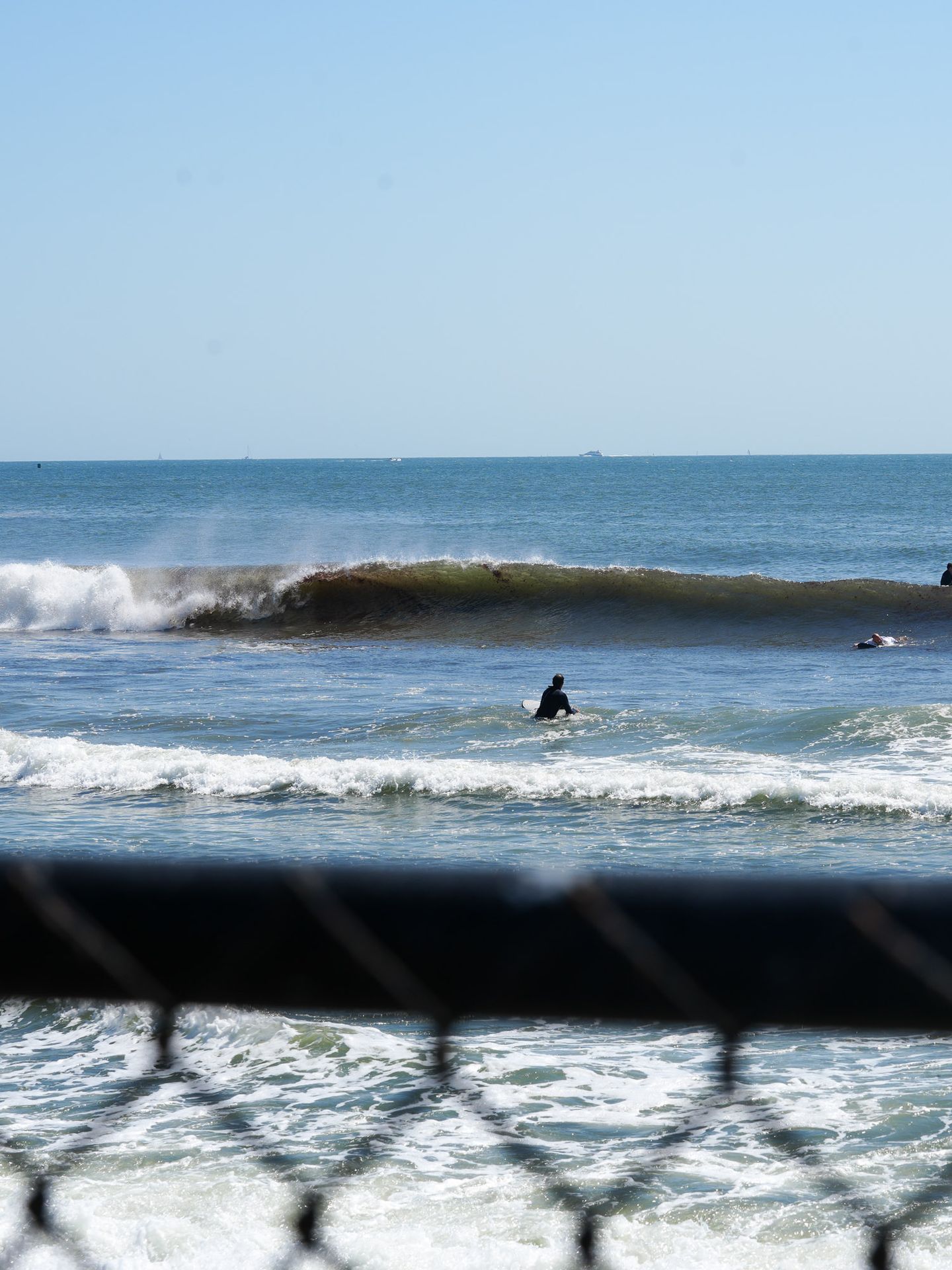
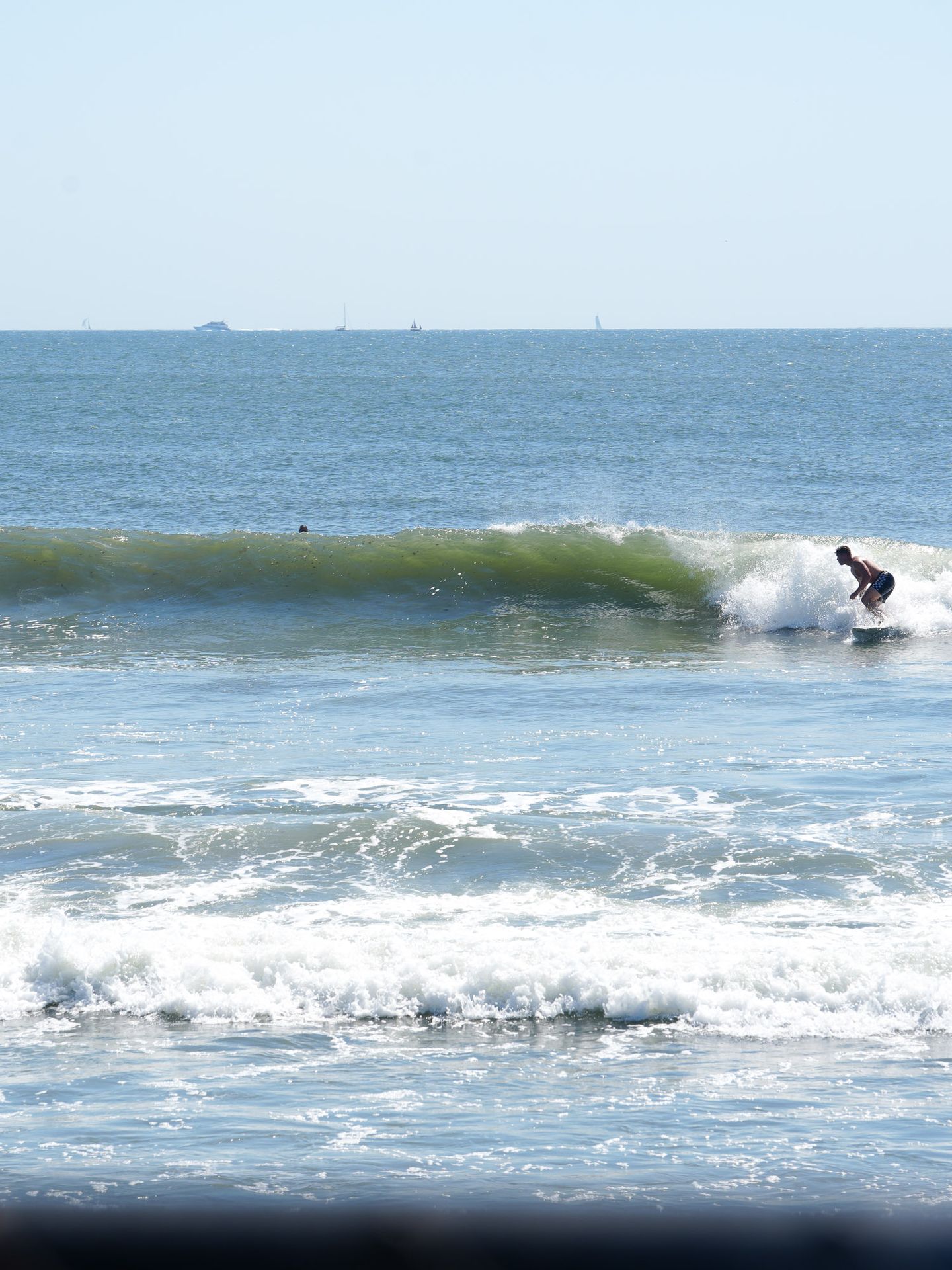
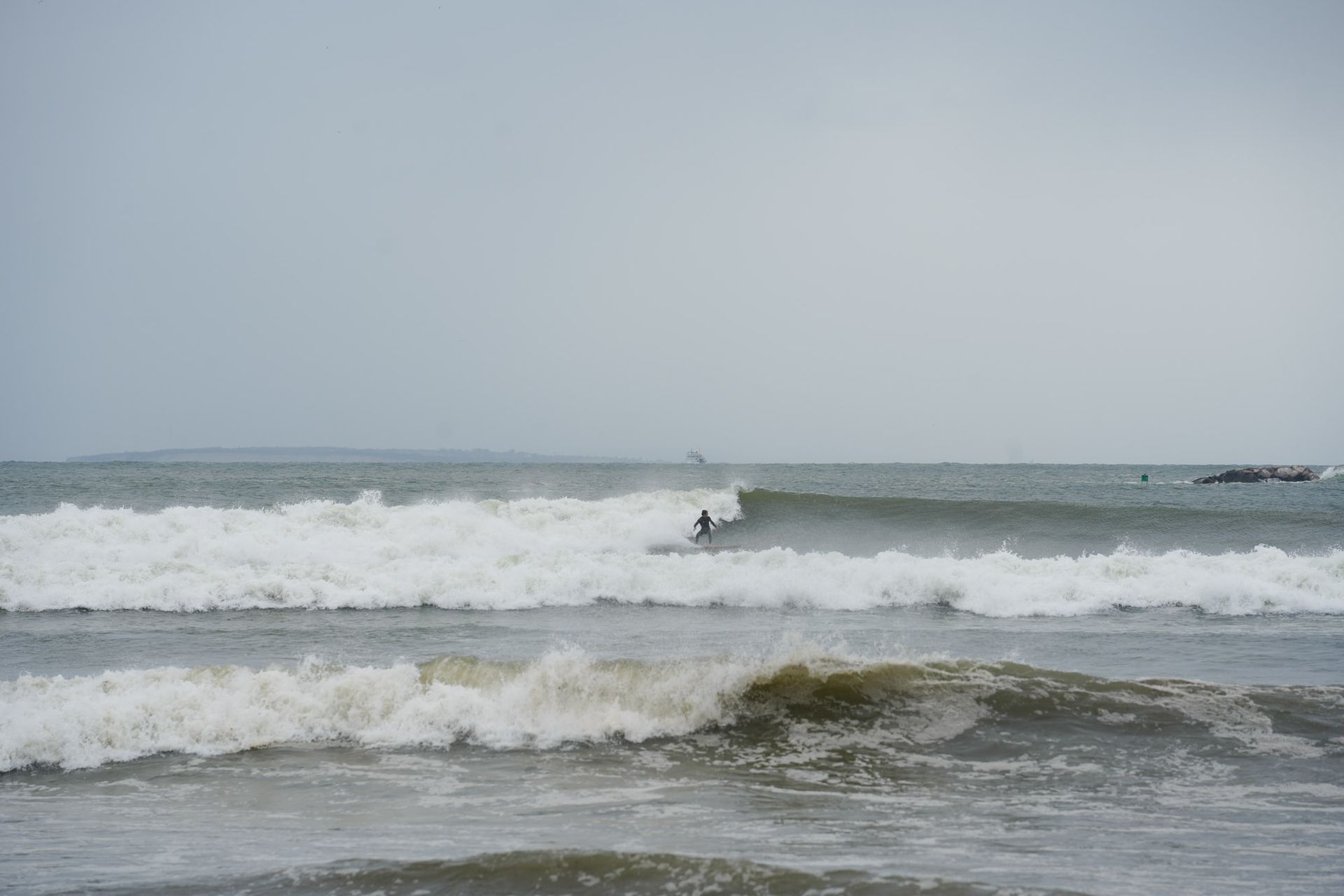
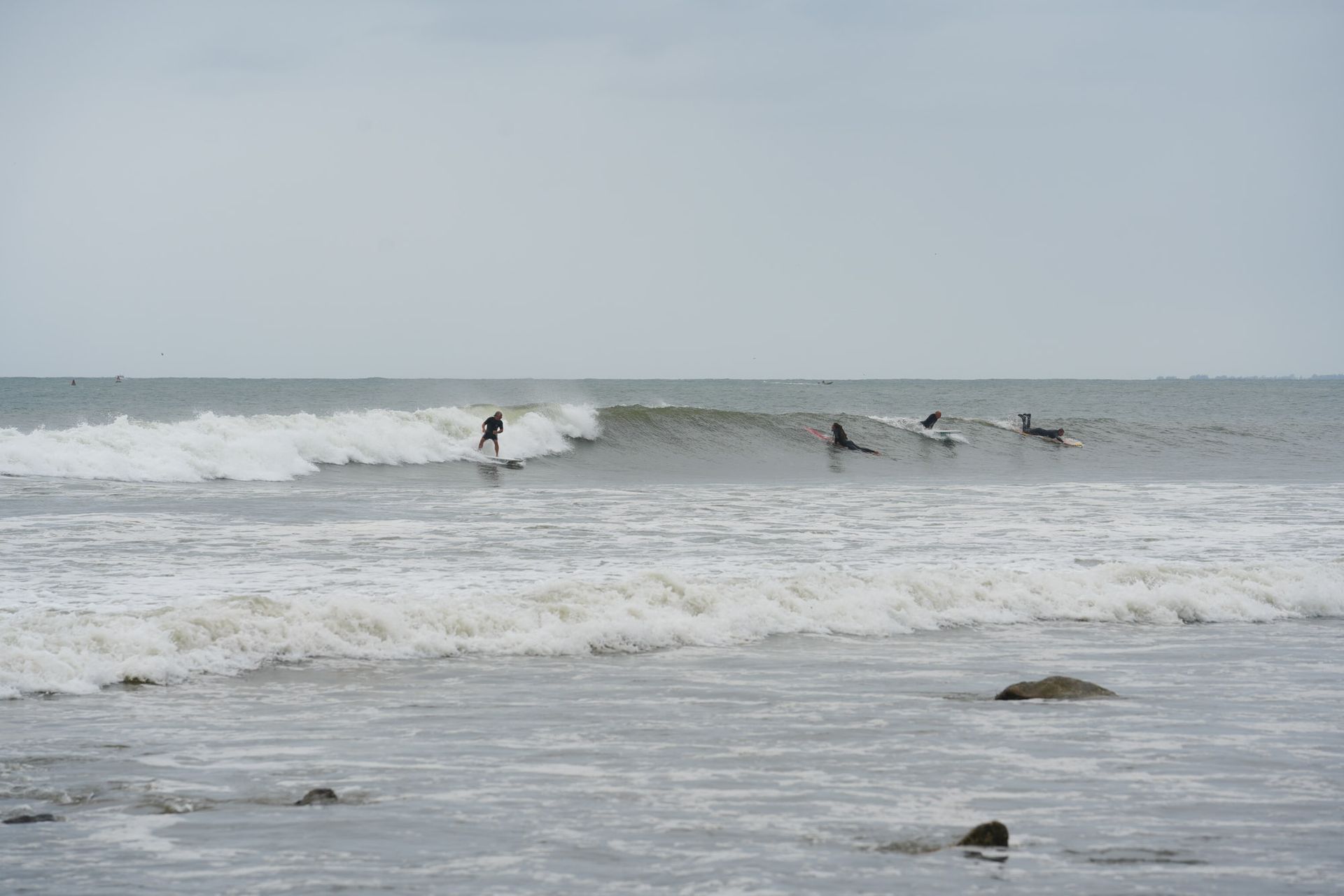
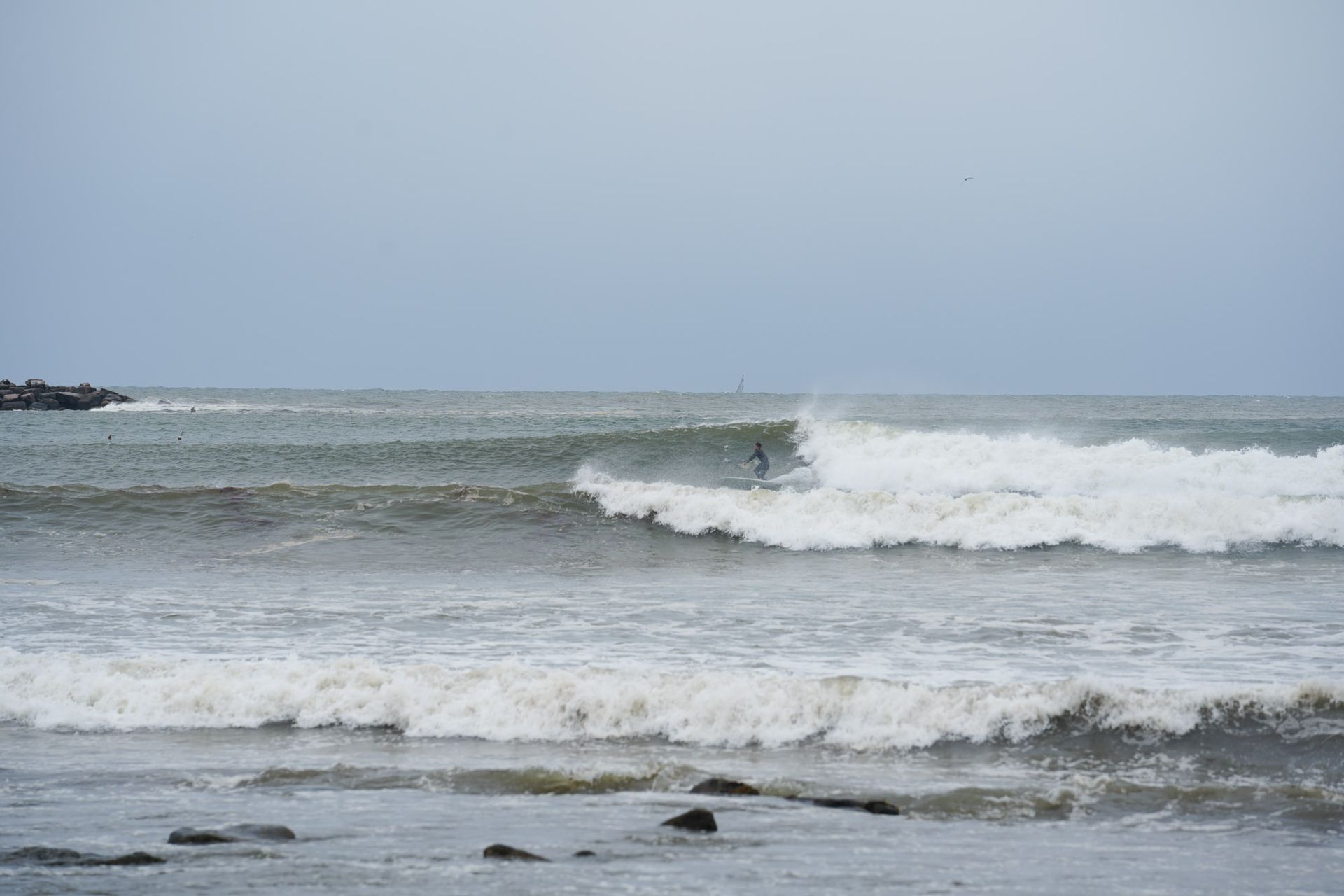
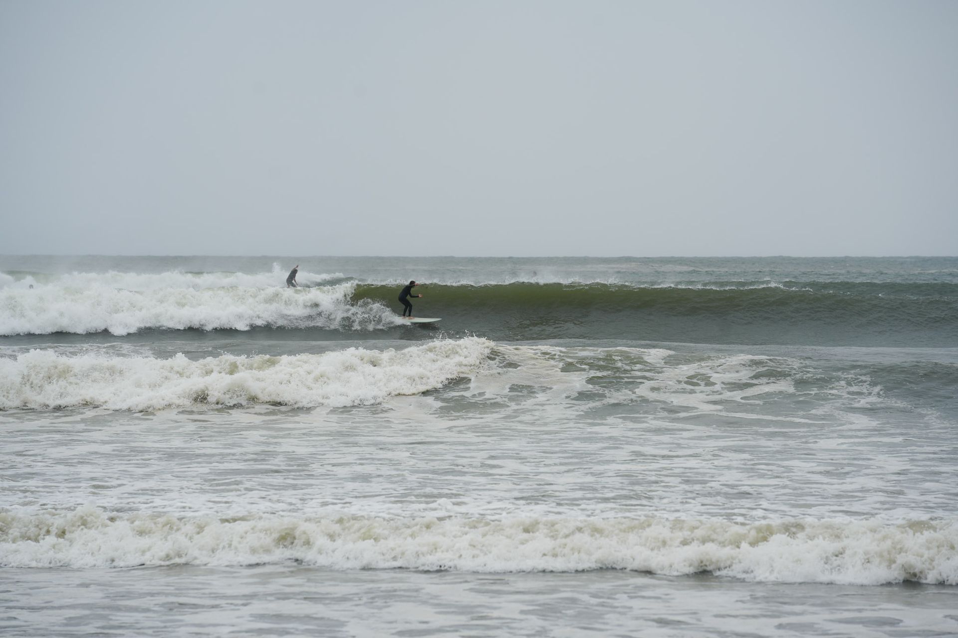
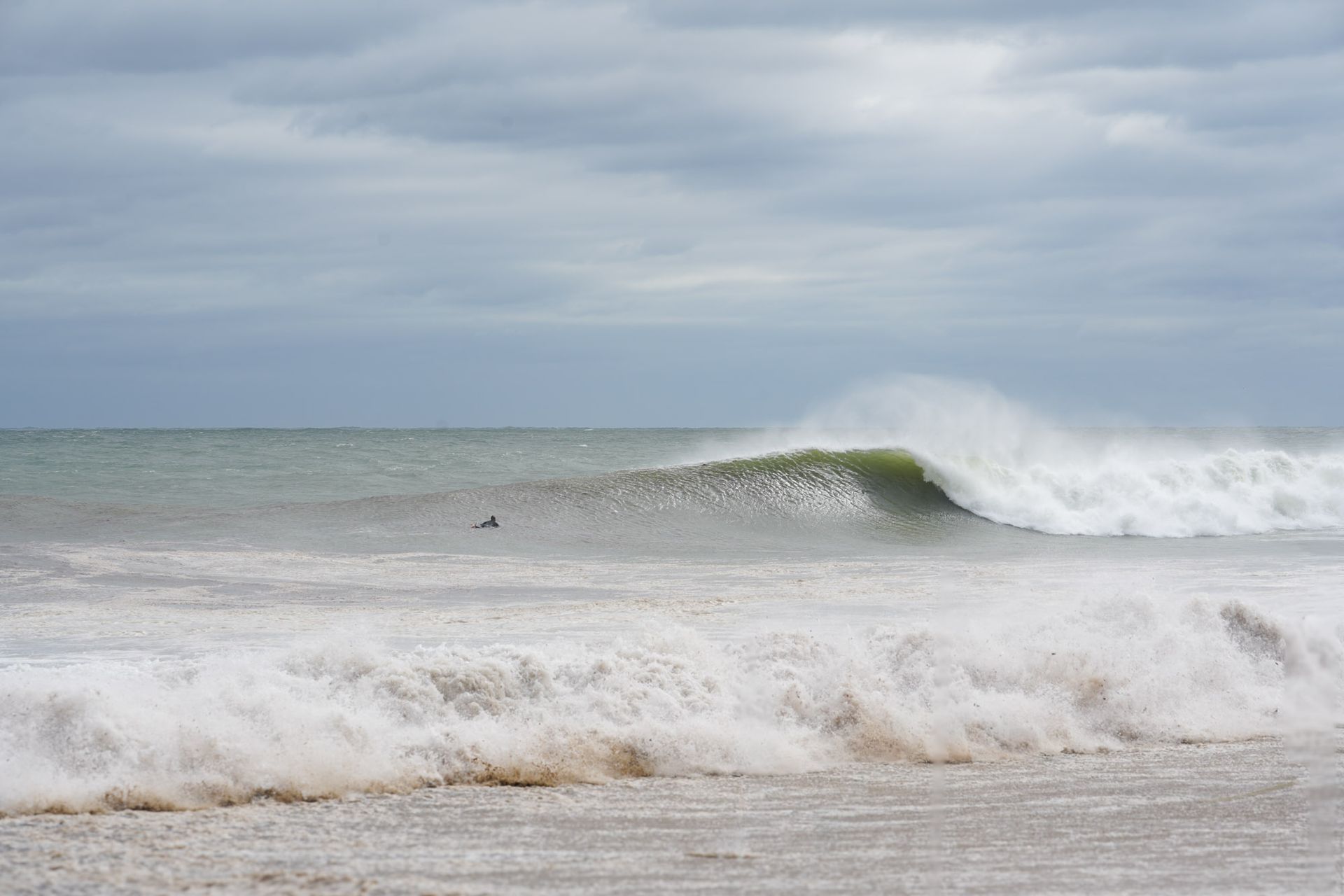
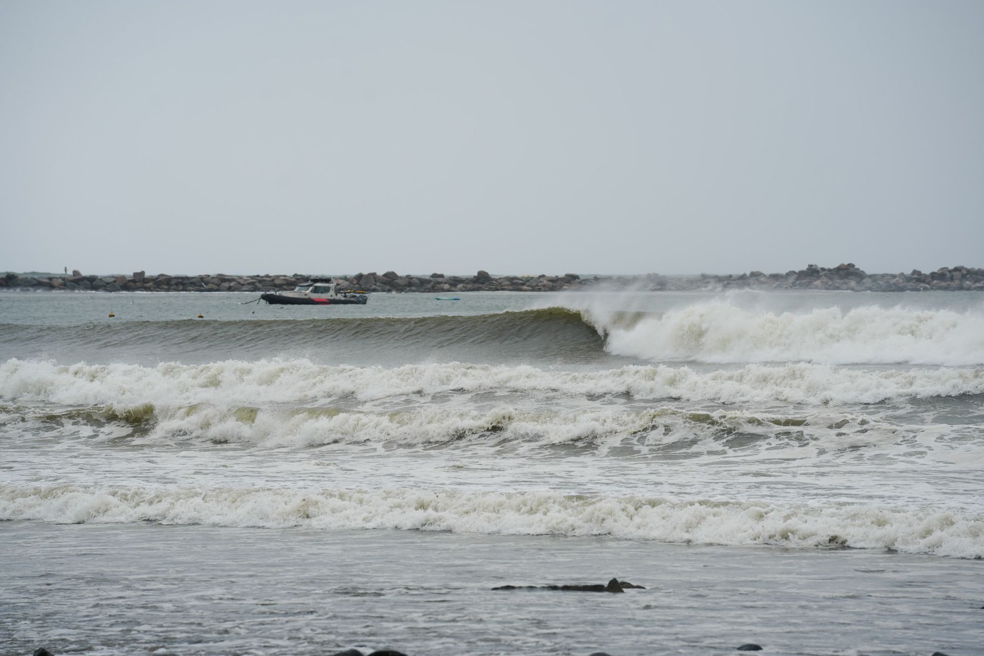
When the swell finally arrived, it lit up the usual spots across Narragansett and the surrounding reefs and beaches.
Overhead + sets pulsed through with some bigger bombs, wrapping into the points and cobblestone coves that thrive on long-period hurricane energy. The waves here weren’t as big as some other standouts on the East Coast, but after months of scraps, the energy in the lineup was undeniable—stoked faces, warm water, and the first taste of hurricane season in New England.
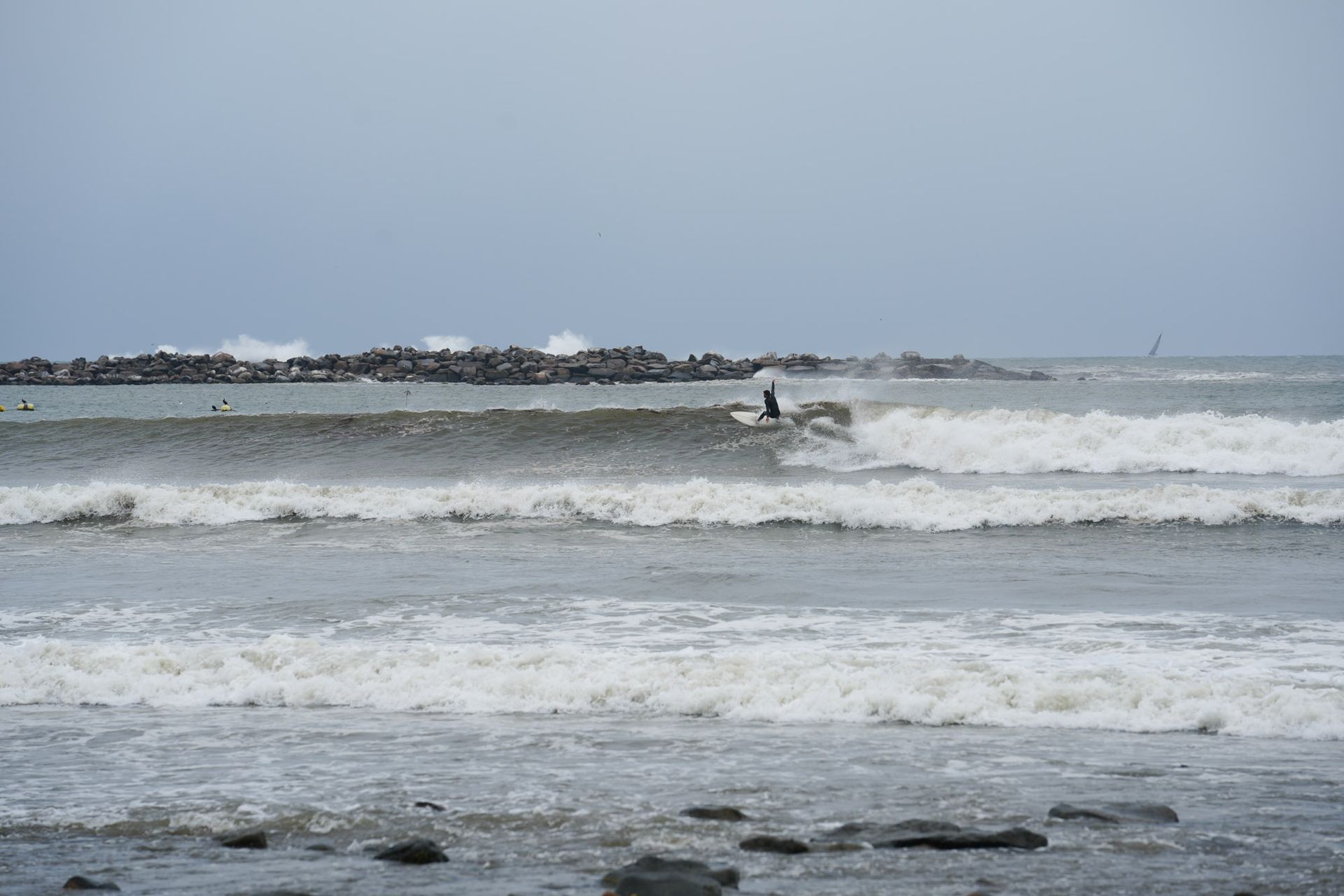
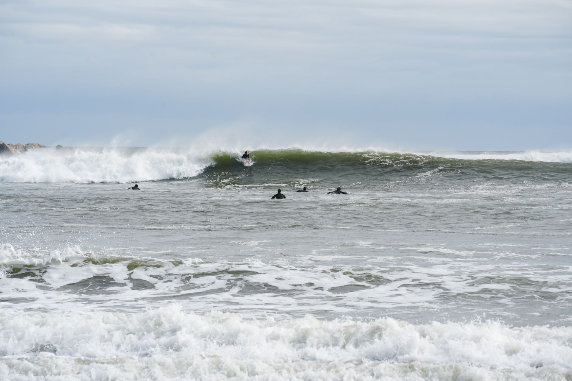
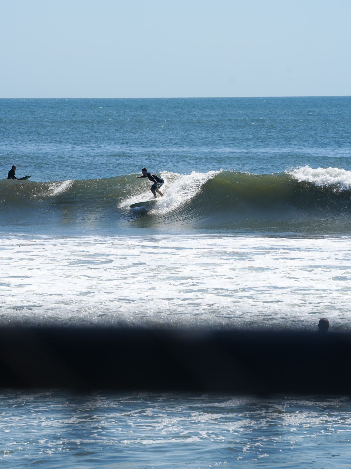
At the shop, we tagged each other in and out as we swapped shifts in the water and behind the counter. We all got our fair share of waves while keeping the doors open and surfboards + wetsuits moving! Here’s a few snapes from our crew throughout the week!
**Don’t bother asking where these waves are—our lips are sealed…